

Help
Community21 has selected some case study communities and projects to share across the network to inspire and inform others. Should we be featuring yours? If so get in touch.
Our NP Area has been agreed by HDC and some early consultation activities have already taken place with more to follow. Register with your postcode and watch this space.
Parish information: Settlements: Upper Beeding, Small Dole and Edburton Population: 2011 Census – 3,736
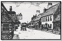
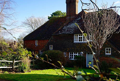
Upper Beeding is a pretty village in West Sussex, which lies in the flood plain of the River Adur gap in the South Downs four miles north of Shoreham by Sea and has a land area of 1877 hectares (4637 acres). Upper Beeding is on the northern edge of the South Downs National Park which was created in 2010. The South Downs Way and Monarchs Way (long-distance footpaths) run through the parish; the area is popular with walkers, cyclists and equestrians. Beeding in Bloom, a committee of local villagers, have taken over the entry of the village in local and national flower competitions and their success is apparent from the appearance of the village. Also included in the parish are the hamlets of Edburton and Small Dole.
The relief and underlying geology of Upper Beeding are very varied. Much of the southern part lies on the Chalk of the South Downs, once largely open sheep pasture, which also provided a site for holding a muster of Lewes and Bramber rapes in 1625 and for a gibbet in the 1840s. Since the 18th century most of the downland has been turned over to arable farming, whilst in the 20th century very large excavations have been made at the cement works in the south-west. Windmill Hill, 192 ft. high, which lies east of the village, is separated from the rest of the Chalk by the Henfield road.
The river Adur has always been important, for its effect on the landscape of the parish, as a means of communication, and in providing employment. Sometimes it was called the Beeding river or water, and on one occasion Horton river. In the early Middle Ages it formed a wide estuary between Bramber Castle, King’s Barn, and Wyckham (inSteyning) on the west and Upper Beeding Church and Horton Hall on the east; much sea shingle is said once to have been visible at King’s Barn. In the Middle Ages salt was extracted from tidal marshland within the parish. Later, as in other parishes of the Adur valley, land was gradually reclaimed.
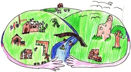
Planning Our Own Neighbourhood: Residents have had little say in how they want their communities to grow or change. The Localism Act changed the Planning System and gives local people more control. ‘Neighbourhood Planning’ might not get you fired up but what these changes in practice mean is that, together with others in our area, we can make things happen: Get better bus routes, Create a community green space or orchard, Design affordable housing for the area, Run a local enterprise, like a shop, pub or even cinema, Take a local service into our own hands, such as the recycling collection. Why bother? To improve the quality of the places we live and work in. To produce a vision for the future. We should decide what happens in our community. It’s something communities have been doing for thousands of years. The process can be fun! You’ll get to meet new people and discover hidden talents


Comments
Upper Beeding Plan posted on 10 October 2014 16:17
Testing