Help
Community21 has selected some case study communities and projects to share across the network to inspire and inform others. Should we be featuring yours? If so get in touch.
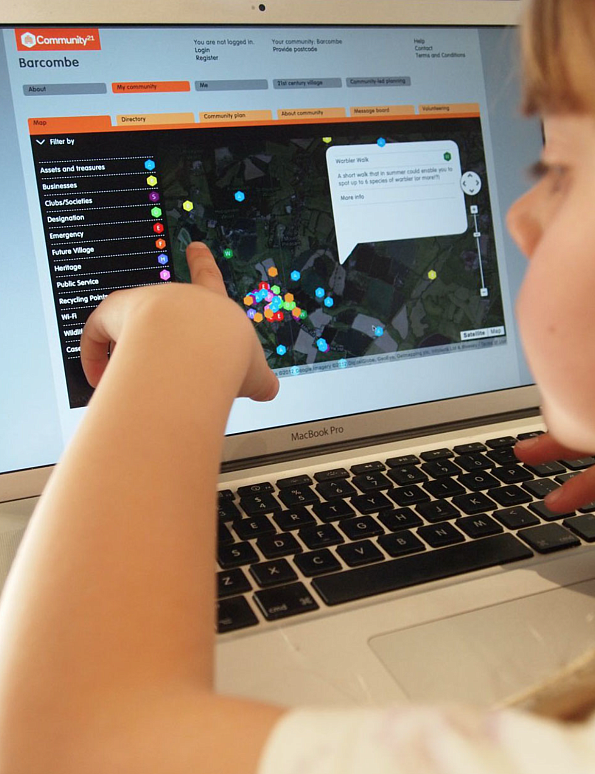
Wiki-GIS - many communities and organisations use our tool to map their networks, assets and resources.
From local communities identifying their assets to international organisations mapping their research and impact.
It was developed in 2010 to provide an accessible geographic information system that is easy to use and can be tailored to suit needs of different organisations.
It fits into a network of researchers, activists and movements that utlise community and inclusive participatory mapping as a means to engage communities of any type in spatial politics, planning and reflection.
Community21 is a lead for the Common Ground Network of mappers from across the world and include Wendy Brawer's Green Maps and the work of Maeve Lydon at University of Victoria amongst many others.
Link to open maps
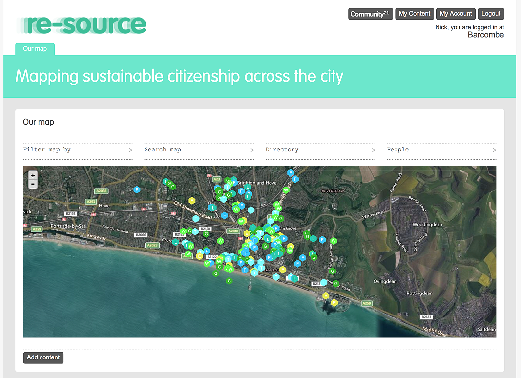
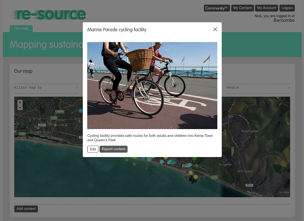
This amazing map developed by first year environmental science students forms part of teaching and learning and orientation project. Students have mapped 'grass-roots' and 'green' organisations around the city of Brighton.
It demonstrates the value of the role of mapping to reveal the many hidden initiatives on our doorstep and provides a great resource for locals as well as planners and policy makers.
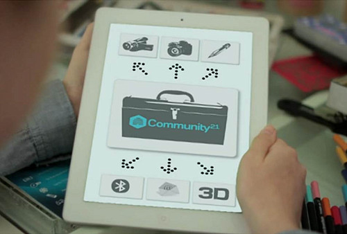
The app allows you to organisae and categorise your own legends and graphic elements and you can search for similar projects or key themes.