


Help
Community21 has selected some case study communities and projects to share across the network to inspire and inform others. Should we be featuring yours? If so get in touch.
Localism building orders 'first' in country to pass examination
Ferring three localism orders that allow communities to grant planning permission for new buildings are thought to be the first in England to have passed examination.
Ferring is largely a retirement community. At the 2001 census, 52.8 per cent of its population was 60 plus (national average: 20.9 per cent). People under 30 were only 16.4 per cent (national average: 37.7 per cent). The housing is almost all owner-occupied. 27.7 per cent of households are pensioners living alone (twice the national average) and up to another 100 people live in residential or nursing homes. But this middle-aged and elderly population is surprisingly active – there are around 60 social and recreational associations, and the Village Hall is very well used. The village is well served by two local churches – St Andrews (C of E) and Ferring Baptist Church. Walking (especially with dogs) is also very popular, along the Rife, on the sea front and on Highdown.
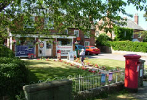
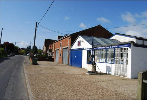
There are several medium-sized businesses in the village, as well as the Garden Centres on the Littlehampton-Worthing Road, the village shops and dozens of small businesses run from home. But the younger householders generally work outside the village, including around 40 people who commute to London by train.
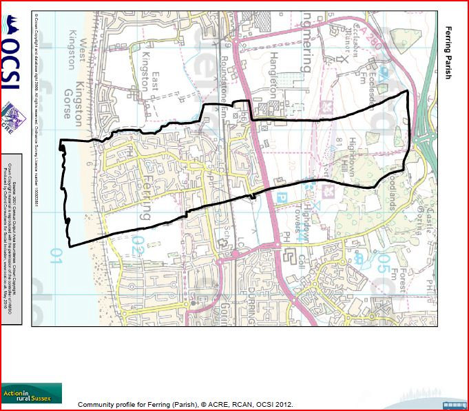
Ferring is a village and civil parish in the Arun District of West Sussex, England. It is part of the built-up area of Worthing and is located on the A259 road 3 miles (4.8 km) west of the town. The parish has a land area of 430.6 hectares (1064 acres). In the 2001 census 4361 people lived in 2179 households, of whom 1423 were economically active.
The site of the village is an ancient one: the name itself is Saxon; it is mentioned in the Domesday Book; the parish church is Norman, and is dedicated to St Andrew. Until the 1920s the village was a small one; when the south coast began to be built-up, particularly with holiday homes, Ferring began to increase in size. In 2012 plans began to build a new ASDA store. A protest began to prevent the store from dumping waste in the Ferring Rife. The environment agency prevented ASDA from doing this.
Ferring Today
Visitors come to Ferring for the beach, Highdown Hill and the Conservation Area around the church, but for the people who live here, or work here, Ferring is primarily a community – of just over 4000 people, living in the 2200 houses in the southern half of the parish. This ‘built-up’ area is all south of the Littlehampton-Worthing road and is flanked by the Rife and the Kingston Gap on the west, and the Goring Gap on the east. There are several important open spaces within the built-up area and many of the houses are on large plots, so that there is a feeling of ‘garden estate’ as well as the rural character of the village nucleus and the farm cottages in Sea Lane and other pre-20th century roads.
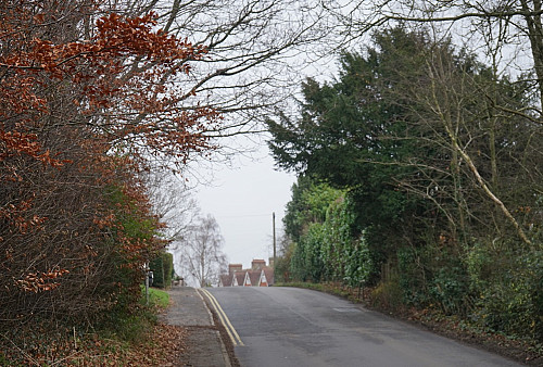
The sea front is relatively undeveloped. The northern half of the parish is open country, and expected to be part of the South Downs National Park. The land slopes up to Highdown Hill and down to the A27. The whole parish is two miles long and just over half a mile wide.